GeoPortOst
ArcGIS, QGIS or web apps can simply use this map with web map services. WMTS, TileJSON or XYZ tiles are provided for quick access to processed maps.
Sign in to get links.
Sign in to download GeoTIFF.
Overlay & compare
Website
Original viewer
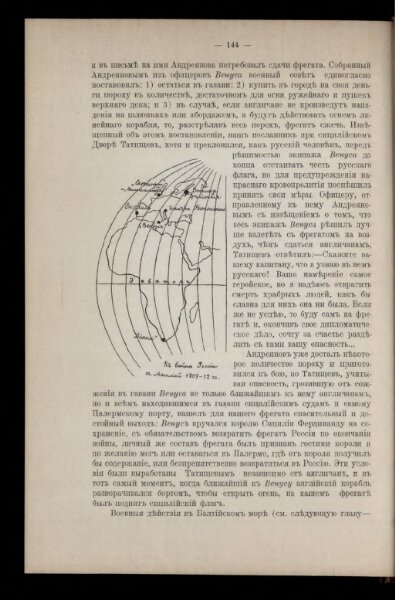
K vojně Rossīi s Anglīej 1807 - 12 gg.
BV043420913
pilot
Europa Seeschlacht
From 1807 to 1812
1911
10 × 6 cm