GeoPortOst
ArcGIS, QGIS or web apps can simply use this map with web map services. WMTS, TileJSON or XYZ tiles are provided for quick access to processed maps.
Sign in to get links.
Sign in to download GeoTIFF.
Overlay & compare
Website
Original viewer
Catalog
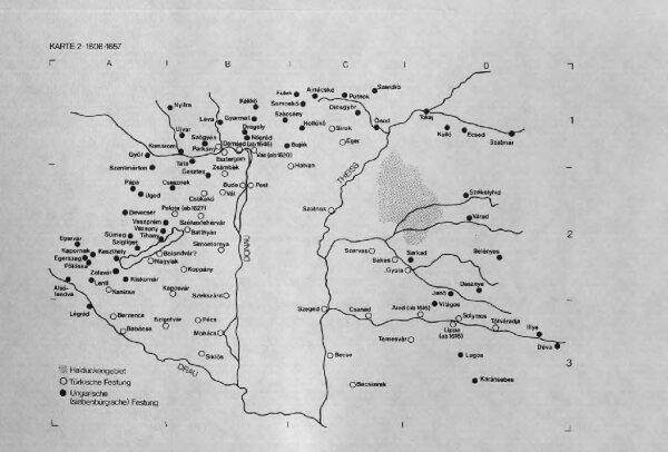
Karten zur ungarisch-türkischen Grenzlinie : Karte 2 Grenzlinie 1606-1657
BV044789271
GeoPortOst II
Ungarn, Osmanisches Reich, Grenze
From 1606 to 1657
1983