GeoPortOst
ArcGIS, QGIS or web apps can simply use this map with web map services. WMTS, TileJSON or XYZ tiles are provided for quick access to processed maps.
Sign in to get links.
Sign in to download GeoTIFF.
Overlay & compare
Website
Original viewer
Catalog
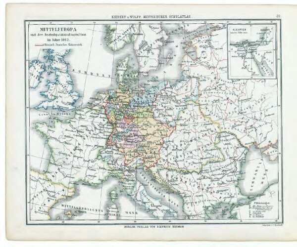
32. Mitteleuropa nach dem Reichsdeputationshauptschluss im Jahre 1803
gbvppn_68332554X_38
GeoPortOst II
Mitteleuropa Reichsdeputationshauptschluss
1803
1879