GeoPortOst
ArcGIS, QGIS or web apps can simply use this map with web map services. WMTS, TileJSON or XYZ tiles are provided for quick access to processed maps.
Sign in to get links.
Sign in to download GeoTIFF.
Overlay & compare
Website
Original viewer
Catalog
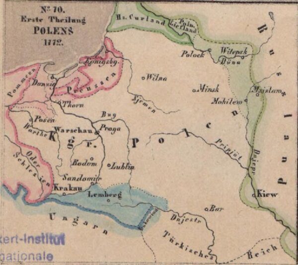
Erste Theilung Polens 1772
gbvppn_744751446_91_2
GeoPortOst II
Polen Teilung Polens <1772>
1772
1861