GeoPortOst
ArcGIS, QGIS or web apps can simply use this map with web map services. WMTS, TileJSON or XYZ tiles are provided for quick access to processed maps.
Sign in to get links.
Sign in to download GeoTIFF.
Overlay & compare
Website
Original viewer
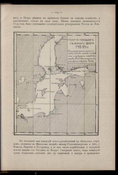
Karta pochodov galernago flota 1712 - 1721 gg.
BV042516145
pilot
Ostsee Nordischer Krieg <1700-1721> Seeschlacht Galeere
From 1712 to 1721
1911
16 × 13 cm