GeoPortOst
ArcGIS, QGIS or web apps can simply use this map with web map services. WMTS, TileJSON or XYZ tiles are provided for quick access to processed maps.
Sign in to get links.
Sign in to download GeoTIFF.
Overlay & compare
Website
Original viewer
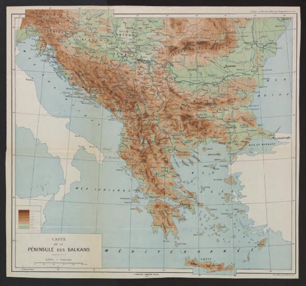
Carte de la Péninsule des Balkans
BV042762740
pilot
Balkanhalbinsel Südosteuropa
1918
L. Wuhrer Lith.
45 × 49 cm
1 : 3000000