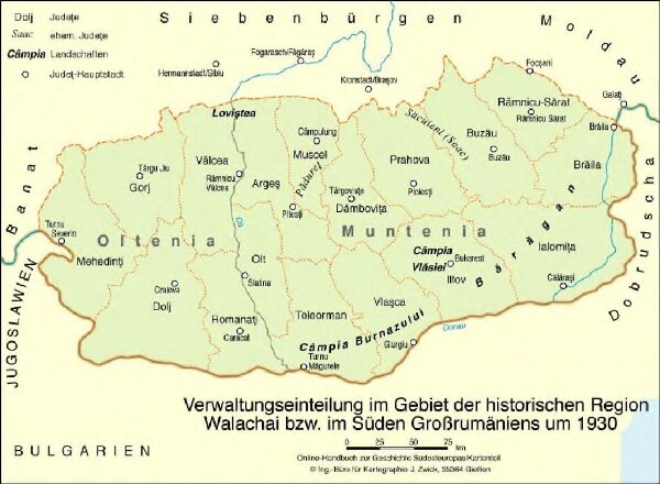
Verwaltungseinteilung im Gebiet der historischen Region Walachei bzw. im Süden Großrumäniens um 1930
ArcGIS, QGIS or web apps can simply
use this map with web map services.
WMTS, TileJSON or XYZ tiles
are provided for quick access to processed maps.
Sign in to get links.