GeoPortOst
ArcGIS, QGIS or web apps can simply use this map with web map services. WMTS, TileJSON or XYZ tiles are provided for quick access to processed maps.
Sign in to get links.
Sign in to download GeoTIFF.
Overlay & compare
Website
Original viewer
Catalog
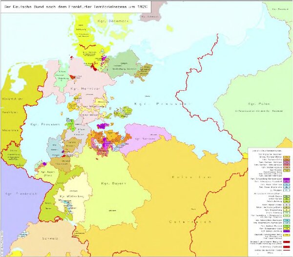
Der Deutsche Bund nach dem Frankfurter Territorialrezess um 1820
hebisppn_400727544
GeoPortOst II
Deutschland
1820
2004
Hundt, Michael