GeoPortOst
ArcGIS, QGIS or web apps can simply use this map with web map services. WMTS, TileJSON or XYZ tiles are provided for quick access to processed maps.
Sign in to get links.
Sign in to download GeoTIFF.
Overlay & compare
Website
Original viewer
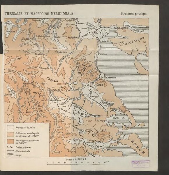
Thessalie et Macédoine méridionale
BV042747344
pilot
Griechenland Makedonien Thessalien Geländedarstellung Eisenbahnlinie
1915
20 × 21 cm