GeoPortOst
ArcGIS, QGIS or web apps can simply use this map with web map services. WMTS, TileJSON or XYZ tiles are provided for quick access to processed maps.
Sign in to get links.
Sign in to download GeoTIFF.
Overlay & compare
Website
Original viewer
Catalog
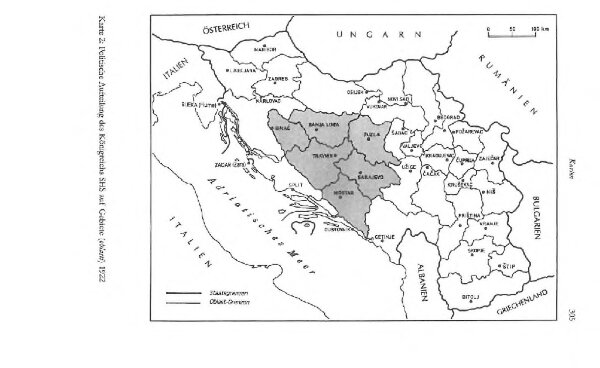
Politische Aufteilung des Königreichs SHS auf Gebiete (oblasti) 1922
BV044855394
GeoPortOst II
Kraljevina Srba, Hrvata i Slovenaca Verwaltungsgliederung
1922
2002
Džambo, Jozo