GeoPortOst
ArcGIS, QGIS or web apps can simply use this map with web map services. WMTS, TileJSON or XYZ tiles are provided for quick access to processed maps.
Sign in to get links.
Sign in to download GeoTIFF.
Overlay & compare
Website
Original viewer
Catalog
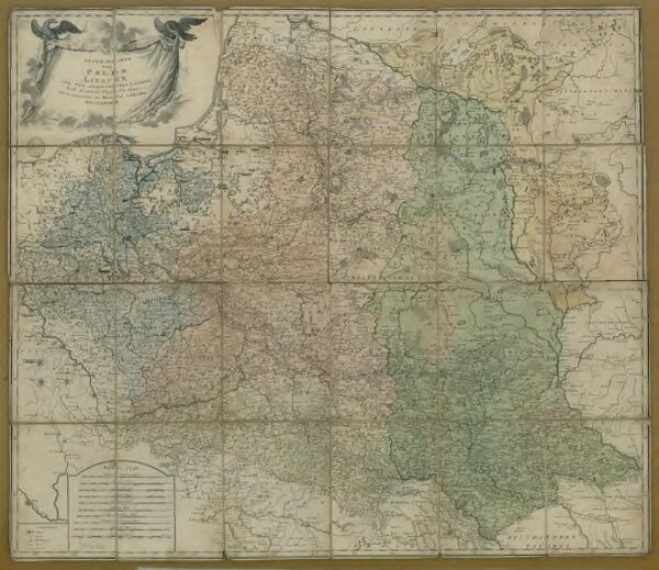
Generalkarte von Polen, Litauen und den angrenzenden Ländern
BV036731760
GeoPortOst II
Polen-Litauen
Schraembl, Franz Anton
84 × 98 cm