GeoPortOst
ArcGIS, QGIS or web apps can simply use this map with web map services. WMTS, TileJSON or XYZ tiles are provided for quick access to processed maps.
Sign in to get links.
Sign in to download GeoTIFF.
Overlay & compare
Website
Original viewer
Catalog
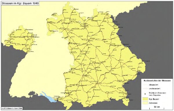
Straßen im Königreich Bayern 1848
hebisppn_401258742
GeoPortOst II
Bayern Straßennetz
1848
2006
Kunz, Andreas ; Treiling, Thomas