GeoPortOst
ArcGIS, QGIS or web apps can simply use this map with web map services. WMTS, TileJSON or XYZ tiles are provided for quick access to processed maps.
Sign in to get links.
Sign in to download GeoTIFF.
Overlay & compare
Website
Original viewer
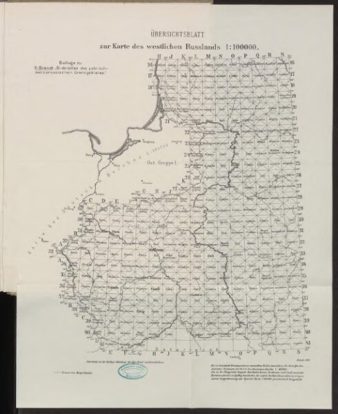
Übersichtsblatt zur Karte des westlichen Russlands
BV042514042
pilot
Russland Weißrussland Grenzgebiet
1918
Kartogr. Abteilung der Kgl. Preuß. Landesaufnahme
36 × 26 cm
1 : 100000