GeoPortOst
ArcGIS, QGIS or web apps can simply use this map with web map services. WMTS, TileJSON or XYZ tiles are provided for quick access to processed maps.
Sign in to get links.
Sign in to download GeoTIFF.
Overlay & compare
Website
Original viewer
Catalog
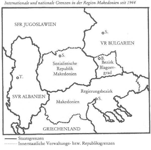
Internationale und nationale Grenzen in der Provinz Makedonien seit 1944
BV044853963
GeoPortOst II
Makedonien Grenzen
From 1944 to 1980
1983