GeoPortOst
ArcGIS, QGIS or web apps can simply use this map with web map services. WMTS, TileJSON or XYZ tiles are provided for quick access to processed maps.
Sign in to get links.
Sign in to download GeoTIFF.
Overlay & compare
Website
Original viewer
Catalog
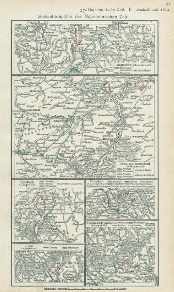
Schlachtenpläne der Napoleonischen Zeit. Austerlitz 2. Dezember 1805
gbvppn_679423346_97
GeoPortOst II
Austerlitz (Region) Dreikaiserschlacht bei Austerlitz
1805
1918
1 : 300000