GeoPortOst
ArcGIS, QGIS or web apps can simply use this map with web map services. WMTS, TileJSON or XYZ tiles are provided for quick access to processed maps.
Sign in to get links.
Sign in to download GeoTIFF.
Overlay & compare
Website
Original viewer
Catalog
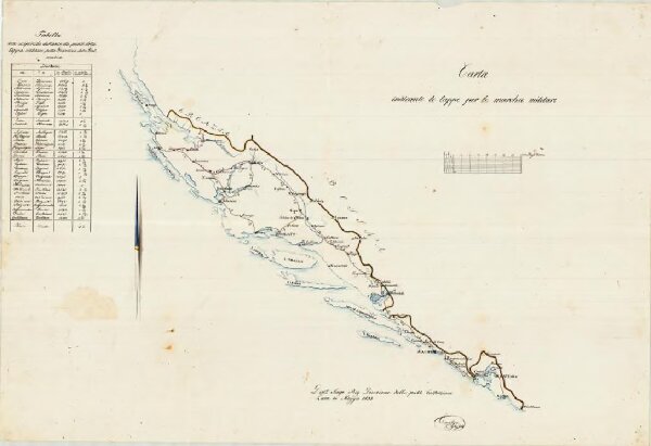
Carta indicante le tappe per le marchie militari
BV044733637
GeoPortOst II
Dalmatien Marschroute, Militärkartografie
1832
2015
Emilys