GeoPortOst
ArcGIS, QGIS or web apps can simply use this map with web map services. WMTS, TileJSON or XYZ tiles are provided for quick access to processed maps.
Sign in to get links.
Sign in to download GeoTIFF.
Overlay & compare
Website
Original viewer
Catalog
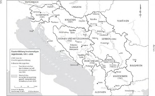
Staatenbildung im ehemaligen Jugoslawien, 1991 - 2008
BV044907011
GeoPortOst II
Jugoslawien Auflösung, Staatenbildung
From 1991 to 2008
2011
Clewing, Konrad ; John, Holger W.
1 : 2500000