GeoPortOst
ArcGIS, QGIS or web apps can simply use this map with web map services. WMTS, TileJSON or XYZ tiles are provided for quick access to processed maps.
Sign in to get links.
Sign in to download GeoTIFF.
Overlay & compare
Website
Original viewer
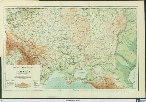
Physische Übersichtskarte der Ukraina und der angrenzenden Länder
BV042516130
pilot
Ukraine Geologie
1916
Kartogr. Anstalt G. Freytag & Berndt, Ges. m. b. H., Wien
28.5 × 45.5 cm
1 : 5000000