GeoPortOst
ArcGIS, QGIS or web apps can simply use this map with web map services. WMTS, TileJSON or XYZ tiles are provided for quick access to processed maps.
Sign in to get links.
Sign in to download GeoTIFF.
Overlay & compare
Website
Original viewer
Catalog
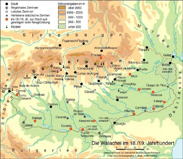
Die Walachei im 18./19. Jahrhundert
BV044421351
GeoPortOst II
Walachei Städtenetz, Siedlung
From 1700 to 1899
2016
Zwick, J.