GeoPortOst
ArcGIS, QGIS or web apps can simply use this map with web map services. WMTS, TileJSON or XYZ tiles are provided for quick access to processed maps.
Sign in to get links.
Sign in to download GeoTIFF.
Overlay & compare
Website
Original viewer
Catalog
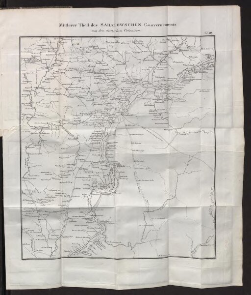
Mittlerer Theil des Saratowschen Gouvernements mit den deutschen Colonieen
BV043559307
GeoPortOst II
Russland, Saratow (Gouvernement), Wolgadeutsche
1825