GeoPortOst
ArcGIS, QGIS or web apps can simply use this map with web map services. WMTS, TileJSON or XYZ tiles are provided for quick access to processed maps.
Sign in to get links.
Sign in to download GeoTIFF.
Overlay & compare
Website
Original viewer
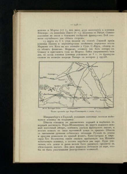
Plan‘‘sraženija pri Fer’’-Šampenuazě, 13 marta 1814 g.
BV042513030
pilot
Frankreich Fère-Champenoise Befreiungskriege <1813-1815>
1814
1911
8 × 13 cm