GeoPortOst
ArcGIS, QGIS or web apps can simply use this map with web map services. WMTS, TileJSON or XYZ tiles are provided for quick access to processed maps.
Sign in to get links.
Sign in to download GeoTIFF.
Overlay & compare
Website
Original viewer
Catalog
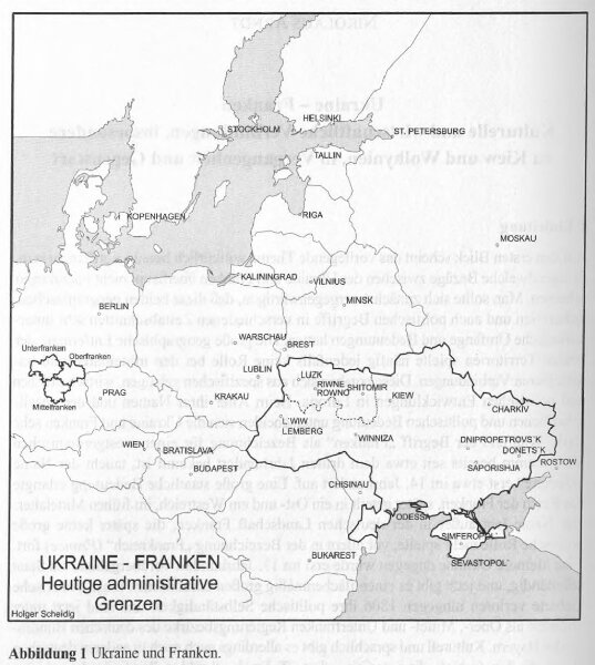
Ukraine - Franken : heutige administrative Grenzen
BV044876468
GeoPortOst II
Ukraine, Franken, Verwaltungsgliederung
2000
Scheidig, Holger