GeoPortOst
ArcGIS, QGIS or web apps can simply use this map with web map services. WMTS, TileJSON or XYZ tiles are provided for quick access to processed maps.
Sign in to get links.
Sign in to download GeoTIFF.
Overlay & compare
Website
Original viewer
Catalog
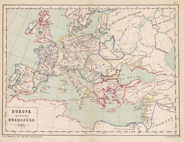
Europa zur Zeit der Kreuzzüge
gbvppn_679981691_28
GeoPortOst II
Europa, Byzantinisches Reich, Kreuzzüge
1880