GeoPortOst
ArcGIS, QGIS or web apps can simply use this map with web map services. WMTS, TileJSON or XYZ tiles are provided for quick access to processed maps.
Sign in to get links.
Sign in to download GeoTIFF.
Overlay & compare
Website
Original viewer
Catalog
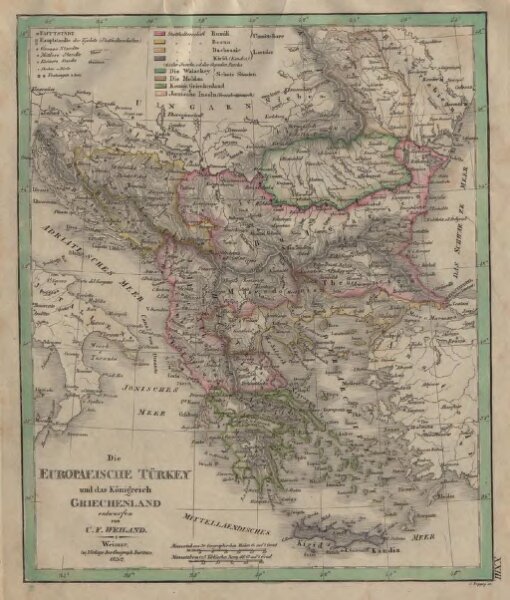
Die Europaeische Türkey und das Königreich Griechenland
gbvppn_74367877X_51
GeoPortOst II
Osmanisches Reich / Europäischer Teil, Griechenland
1833