GeoPortOst
ArcGIS, QGIS or web apps can simply use this map with web map services. WMTS, TileJSON or XYZ tiles are provided for quick access to processed maps.
Sign in to get links.
Sign in to download GeoTIFF.
Overlay & compare
Website
Original viewer
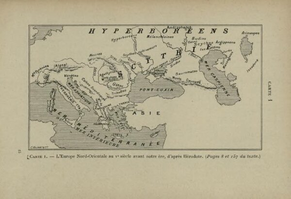
L’Europe Nord-Orientale au 5e siècle avant notre ère, d’après Hérodote
BV042518409
pilot
Europa <Nordost> Herodot
From 400 to 499
1903
13 × 7 cm