GeoPortOst
ArcGIS, QGIS or web apps can simply use this map with web map services. WMTS, TileJSON or XYZ tiles are provided for quick access to processed maps.
Sign in to get links.
Sign in to download GeoTIFF.
Overlay & compare
Website
Original viewer
Catalog
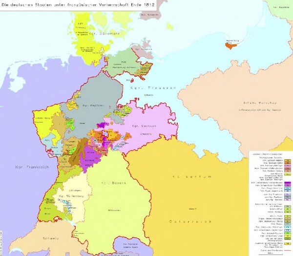
Die deutschen Staaten unter französischer Vorherrschaft Ende 1812
hebisppn_40072474X
GeoPortOst II
Deutschland
1812
2004
Hundt, Michael