GeoPortOst
ArcGIS, QGIS or web apps can simply use this map with web map services. WMTS, TileJSON or XYZ tiles are provided for quick access to processed maps.
Sign in to get links.
Sign in to download GeoTIFF.
Overlay & compare
Website
Original viewer
Catalog
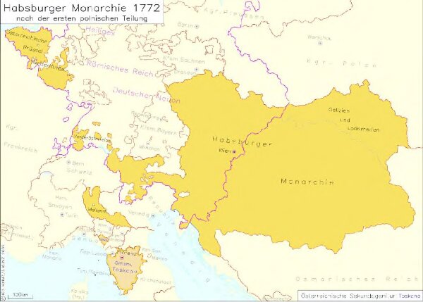
Habsburger Monarchie 1772 nach der ersten polnischen Teilung
hebisppn_40150252X
GeoPortOst II
Österreich, Teilung Polens <1772>
1772
2005
Kunz, Andreas ; Moeschl, Joachim Robert