GeoPortOst
ArcGIS, QGIS or web apps can simply use this map with web map services. WMTS, TileJSON or XYZ tiles are provided for quick access to processed maps.
Sign in to get links.
Sign in to download GeoTIFF.
Overlay & compare
Website
Original viewer
Catalog
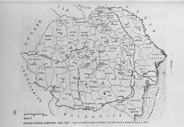
Verwaltungsgliederung 1918-1937
BV044789313
GeoPortOst II
Rumänien Verwaltungsgliederung
From 1918 to 1937
1986