GeoPortOst
ArcGIS, QGIS or web apps can simply use this map with web map services. WMTS, TileJSON or XYZ tiles are provided for quick access to processed maps.
Sign in to get links.
Sign in to download GeoTIFF.
Overlay & compare
Website
Original viewer
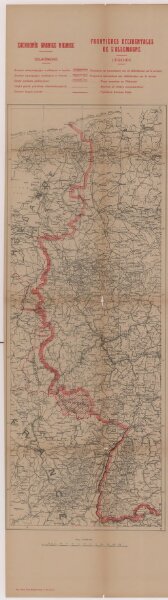
Zachodnie granice Niemiec
BV043216839
pilot
Deutschland Frankreich Deutsches Reich Grenze
1919
1920
Wierzbicki, B.
26 × 71 cm